
The quick read
- A useful alert must arrive early and avoid overwhelming responders with false alarms.
- Track deployed coverage, detection validation and how information reaches responsible authorities.
What the update says
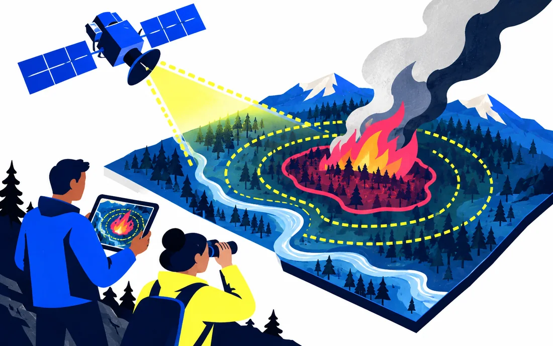
In a September 15 research interview, Google discussed its work with Muon Space and the Earth Fire Alliance’s FireSat programme. The project uses satellite imagery and AI to distinguish possible wildfires from other heat sources. Its goal of frequent worldwide coverage depends on a constellation that is still being deployed.
Why detection is difficult
A useful alert must arrive early and avoid overwhelming responders with false alarms. Observing how a heat source changes over time can help distinguish different events. The value of a detection system therefore depends on both the observations and the operational process that receives them.
What to watch
Track deployed coverage, detection validation and how information reaches responsible authorities. Future constellation targets should remain labelled as targets. This is coverage of a research and infrastructure programme, not a substitute for official local emergency information.
Sources & notes
AI-assisted editorial content checked against the linked sources.
blog.google — official reference
Sources reviewed for the September 2026 launch edition.