
The quick read
- Finding an emission source and reducing its emissions are separate steps.
- Read the study’s methods before generalising its reported gains to other sensors or conditions.
The research update
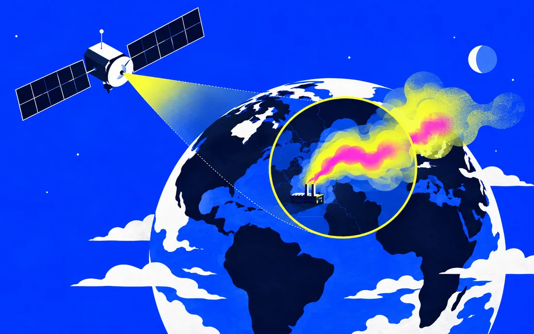
Google’s September 9 post describes MAPL-EMIT, developed with NASA’s Jet Propulsion Laboratory using observations from NASA’s EMIT instrument. The team reported its work in PNAS and released a plume database, visualisation tools and model resources. Performance figures in the announcement are the researchers’ reported results.
Why the data matters
Finding an emission source and reducing its emissions are separate steps. A larger catalogue can help researchers and operators investigate where to look, but useful action also requires validation, attribution and follow-up. Remote sensing results need to be interpreted with their measurement limits.
Questions for follow-up
Read the study’s methods before generalising its reported gains to other sensors or conditions. Look for independent use of the released resources and evidence that detections inform verified interventions. Open tools make scrutiny possible; they do not remove the need for scientific checking.
Sources & notes
AI-assisted editorial content checked against the linked sources.
blog.google — official reference
Sources reviewed for the September 2026 launch edition.